Education
Geographic Map City Diorama Prompt
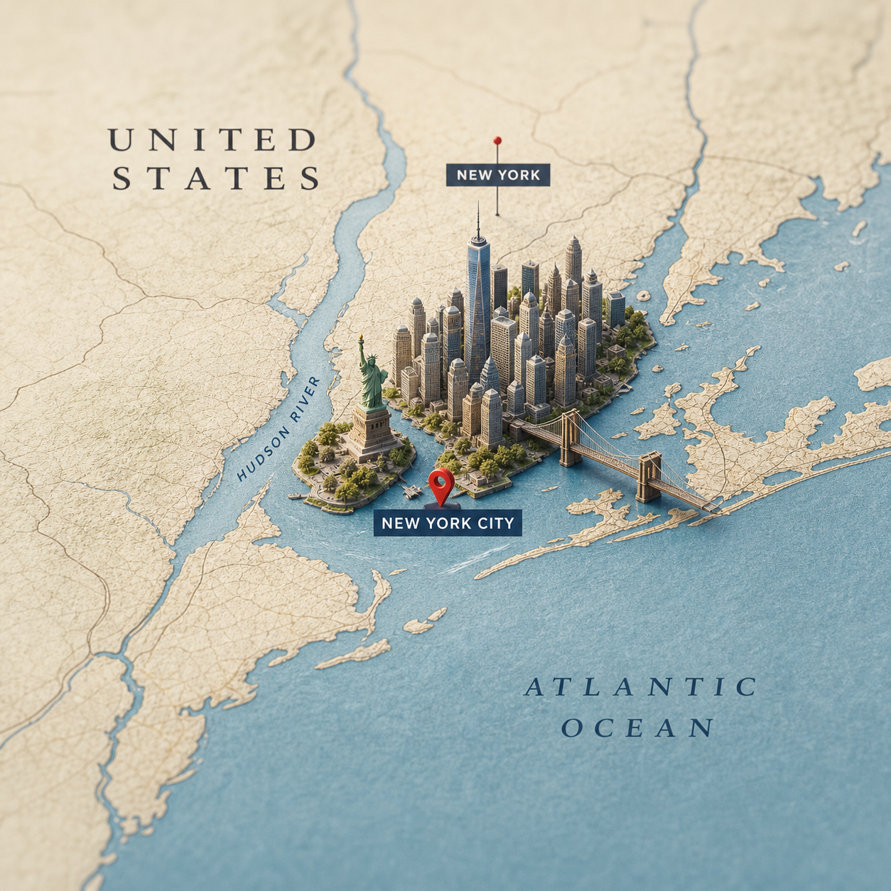
Create an ultra-realistic square geographic map visual where a miniature 3D diorama of a selected city rises from its true location, with readable country, state, city, and nearby region labels.
EducationImage PromptsTravel
Prompt
Create a realistic, highly detailed geographic map viewed from above, accurately representing the region where [COUNTRY] is located. Add readable, elegant map label text for [COUNTRY], [STATE_OR_REGION], and [CITY], plus optional nearby labels such as major cities, oceans, seas, lakes, or neighboring regions. Rising from the map is a miniature 3D diorama of [CITY], precisely positioned at its real geographic location inside [STATE_OR_REGION]. The diorama should feature iconic architecture, natural landmarks, cultural elements, roads, waterfronts, greenery, and urban texture that seamlessly emerge from the map surface. Use ultra-realistic materials, fine paper map texture, raised terrain edges, realistic miniature scale, detailed buildings, subtle terrain depth, depth of field, soft studio lighting, cinematic composition, premium macro photography style, and subtle shadows. Keep the final image in a square 1:1 format with high detail and realistic scale. Make the country, state, and city labels clear and intentional. Avoid inaccurate landmark placement, misspelled labels, unreadable labels, fake random map text, excessive clutter, floating objects, watermarks, and cartoon styling.
DALL-EMidjourneyPhotoshopStable Diffusion
Sample Output
united-states-new-york-city-map-diorama.png
#geographic map#city diorama#travel prompt#3d map#destination marketing#macro photography
Actions
Open with